About the App
This project started from a real operational problem: broken polygon data needed to be fixed before it could be used reliably. At first, the easiest solution was manual correction, but existing tools made the process more complicated than expected. Some required WKT-to-GeoJSON conversion, some gave unclear validation errors, and others expected users to work from the terminal. GeoFix was built to make polygon repair and overlap checking simple enough for non-technical users.
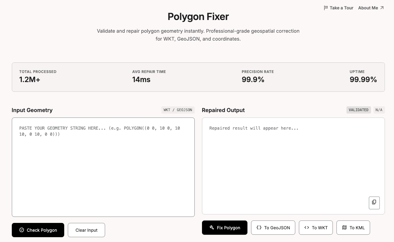
GeoFix is a client-side geospatial utility for validating, repairing, converting, and visually inspecting polygon geometry. It supports WKT and GeoJSON inputs, renders polygons on an interactive map, detects common geometry issues, helps users export corrected geometry in GeoJSON, WKT, or KML format, and includes a polygon overlap checker to compare two polygons by spatial relationship, overlap area, percentage overlap, and intersection coordinates.